Professional Drone LiDAR Systems & Cloud Mapping Software
Capture survey-grade LiDAR data. Upload to ROCK Cloud. Get professional deliverables in minutes. Trusted by engineers, surveyors, and utilities worldwide.
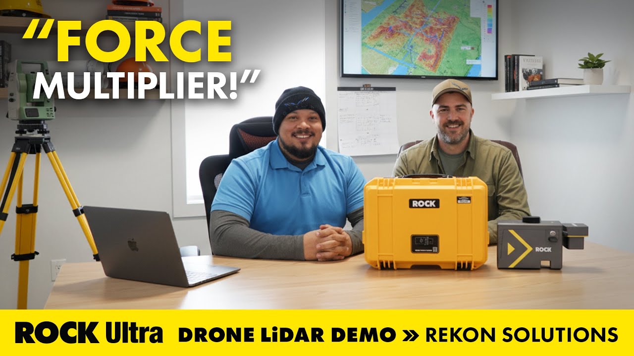
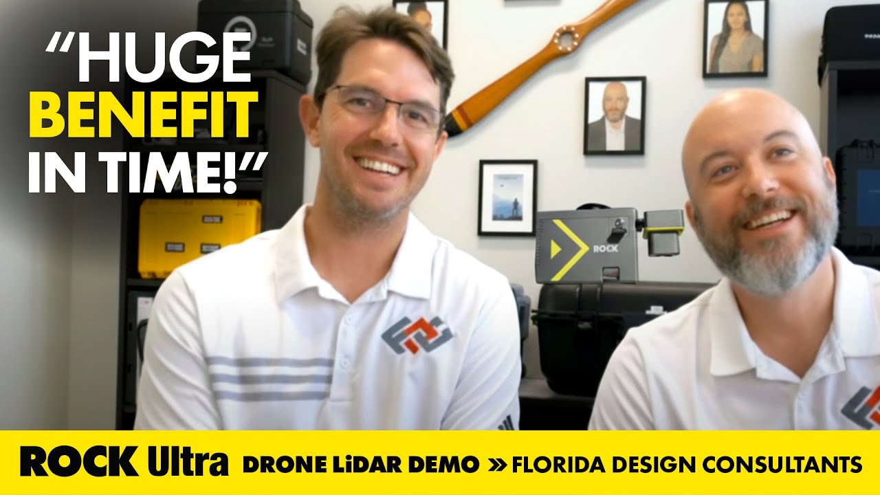
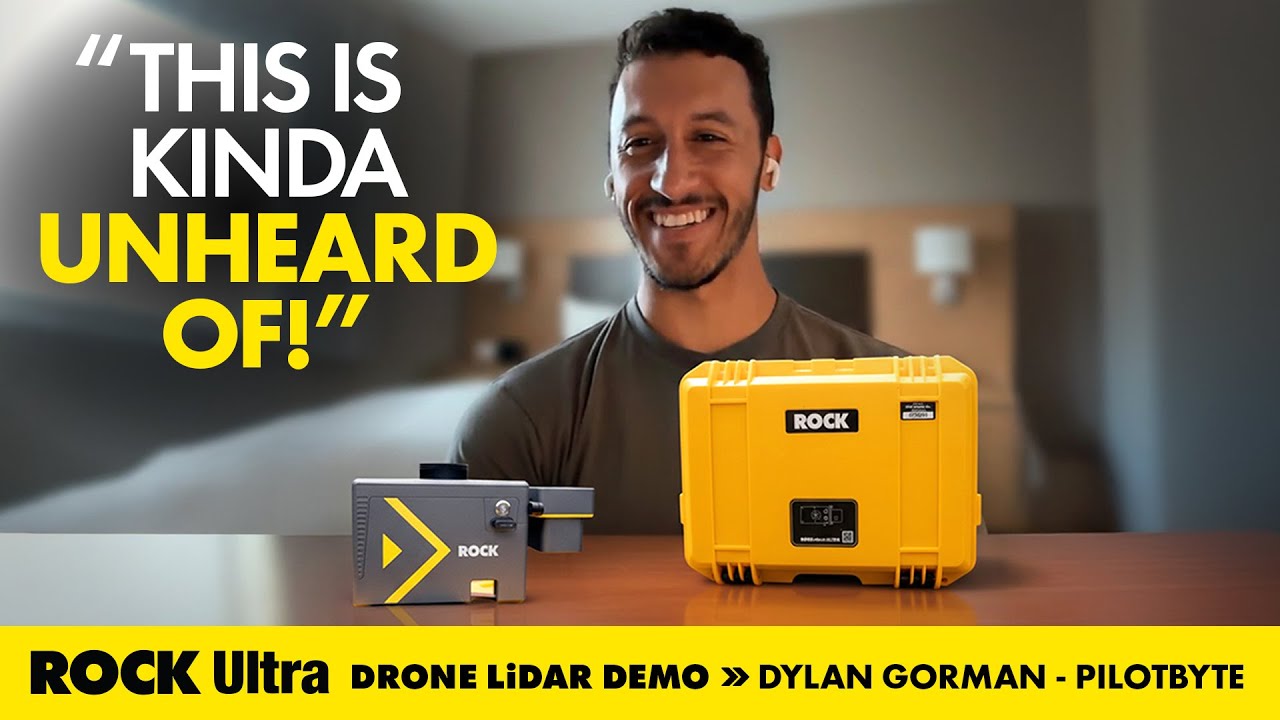
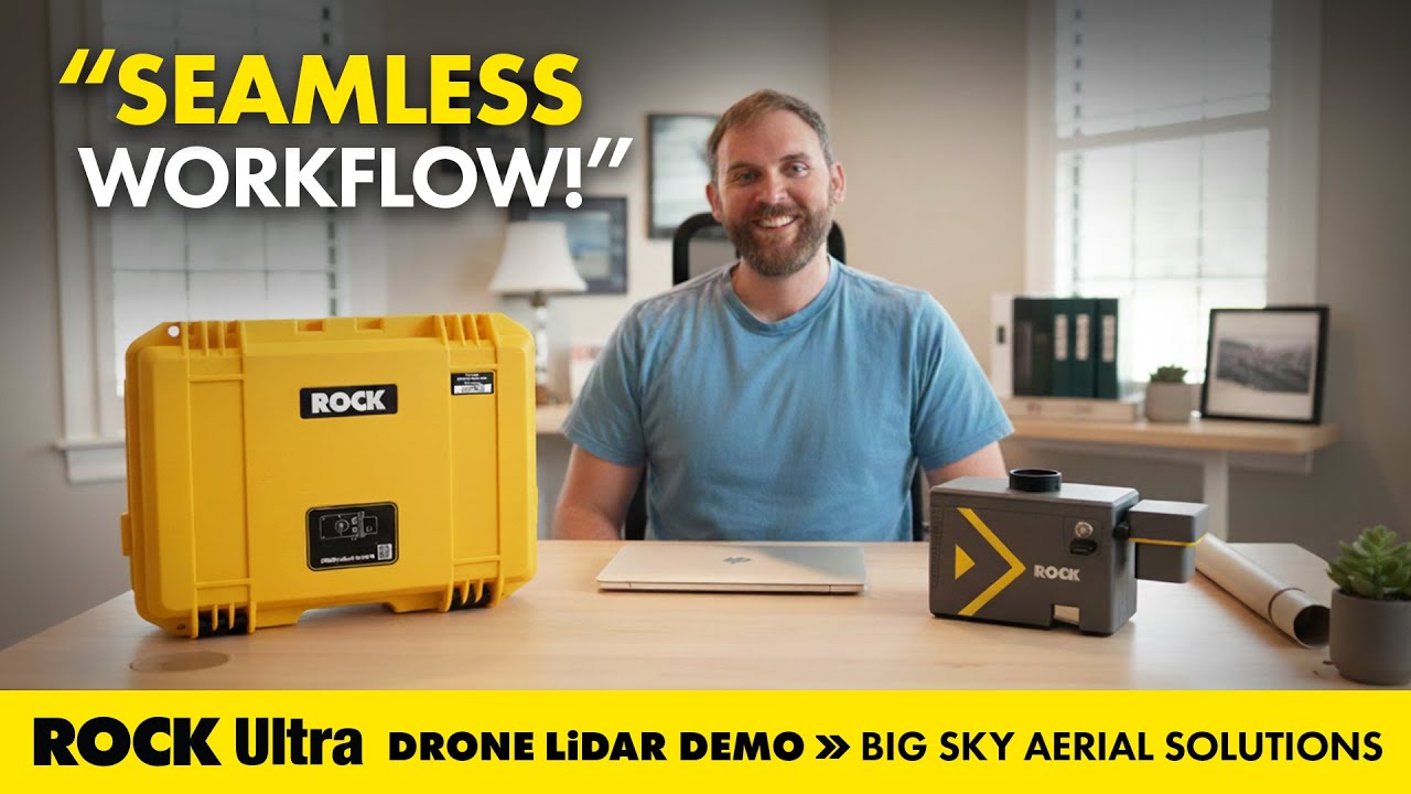
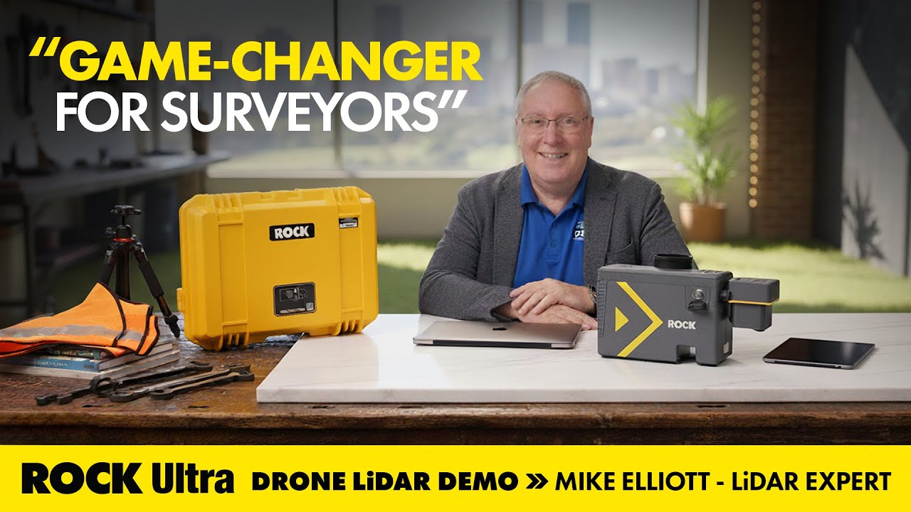
Real-World Success Stories
Customer Case Studies
Explore real-world use cases directly from surveyors and drone service providers. Each case study includes the full story, dataset, and video walkthrough.

Your End-to-End LiDAR Solution
From data capture in the field to final deliverables, we provide the tools and expertise to streamline your entire workflow.
LiDAR Hardware
Survey-grade LiDAR systems like the ROCK Ultra and R3 Pro, engineered for accuracy and efficiency in any environment.
Learn More →Cloud Software
The ROCK Cloud platform for seamless data processing, analysis, visualization, and deliverable generation.
Learn More →Professional Services
Your outsourced CAD team. Get survey-grade topographic maps, planimetrics, and PLS-CADD deliverables from our experts.
Learn More →


Trusted by Professionals & Integrated with Tools You Already Use


The Complete LiDAR Ecosystem
Advanced solutions tailored for every phase of your mapping project.
ROCK R3 Pro V2
One LiDAR, endless possibilities. A versatile 3-in-1 system for drone, vehicle, or handheld mapping with survey-grade precision and 360° coverage.
Read More →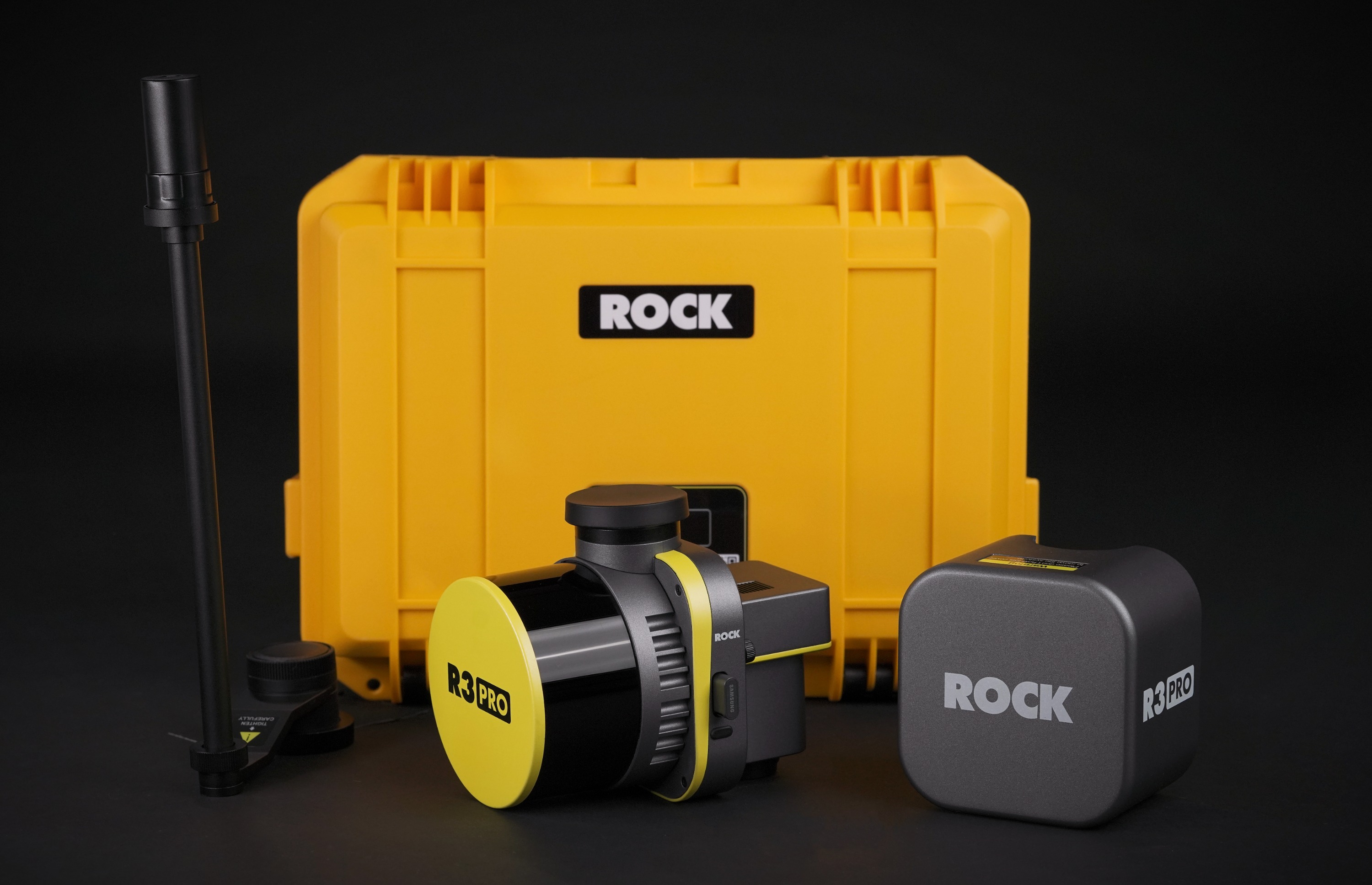
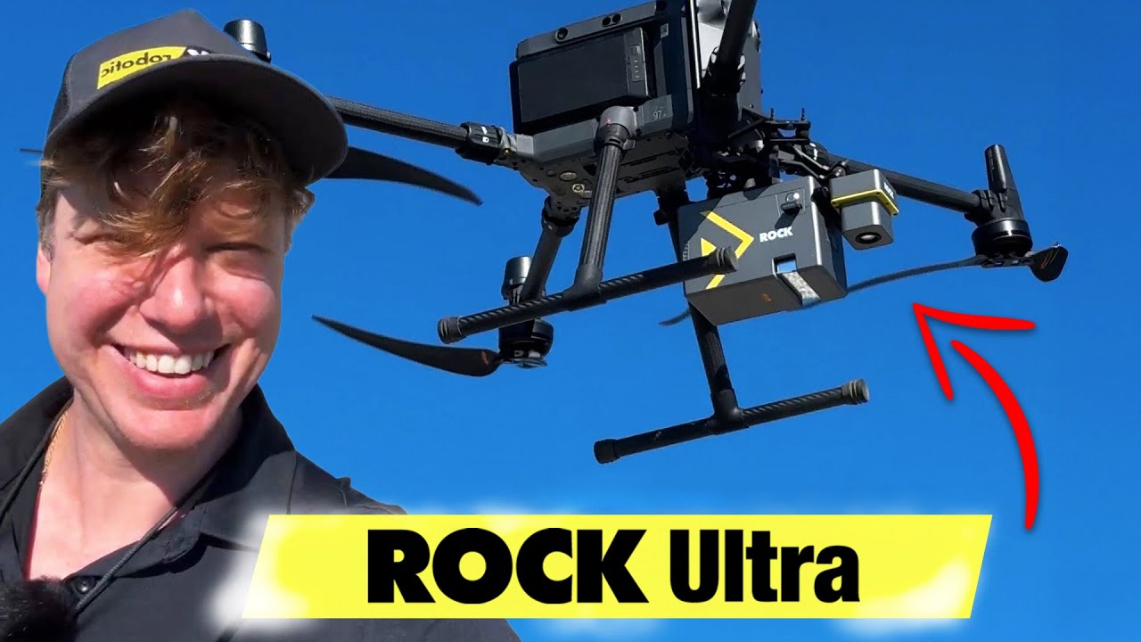
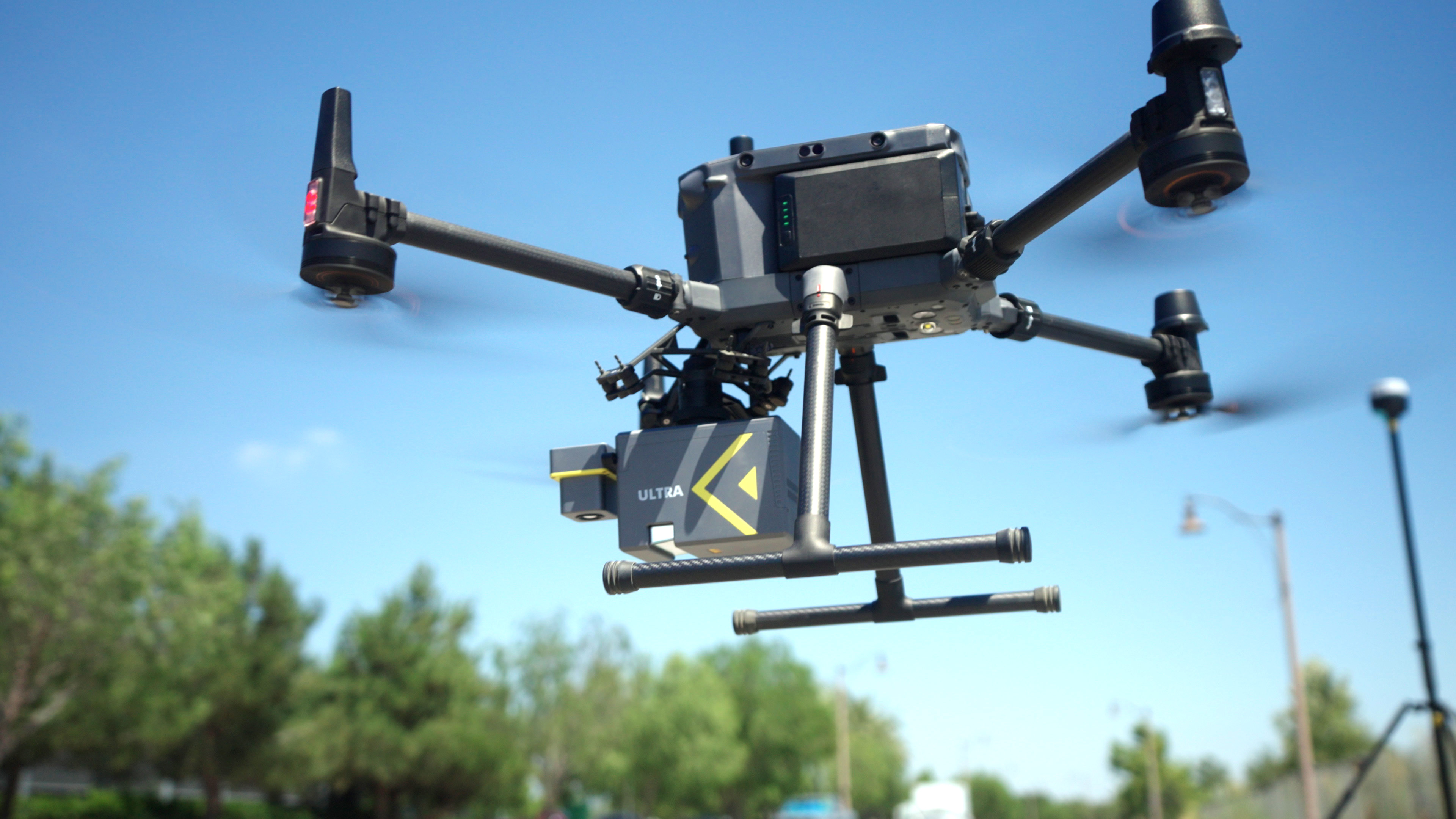
ROCK Ultra
The definitive solution for large-scale surveying. Fly higher and faster with a 1000m range and superior vegetation penetration for unmatched operational efficiency.
Read More →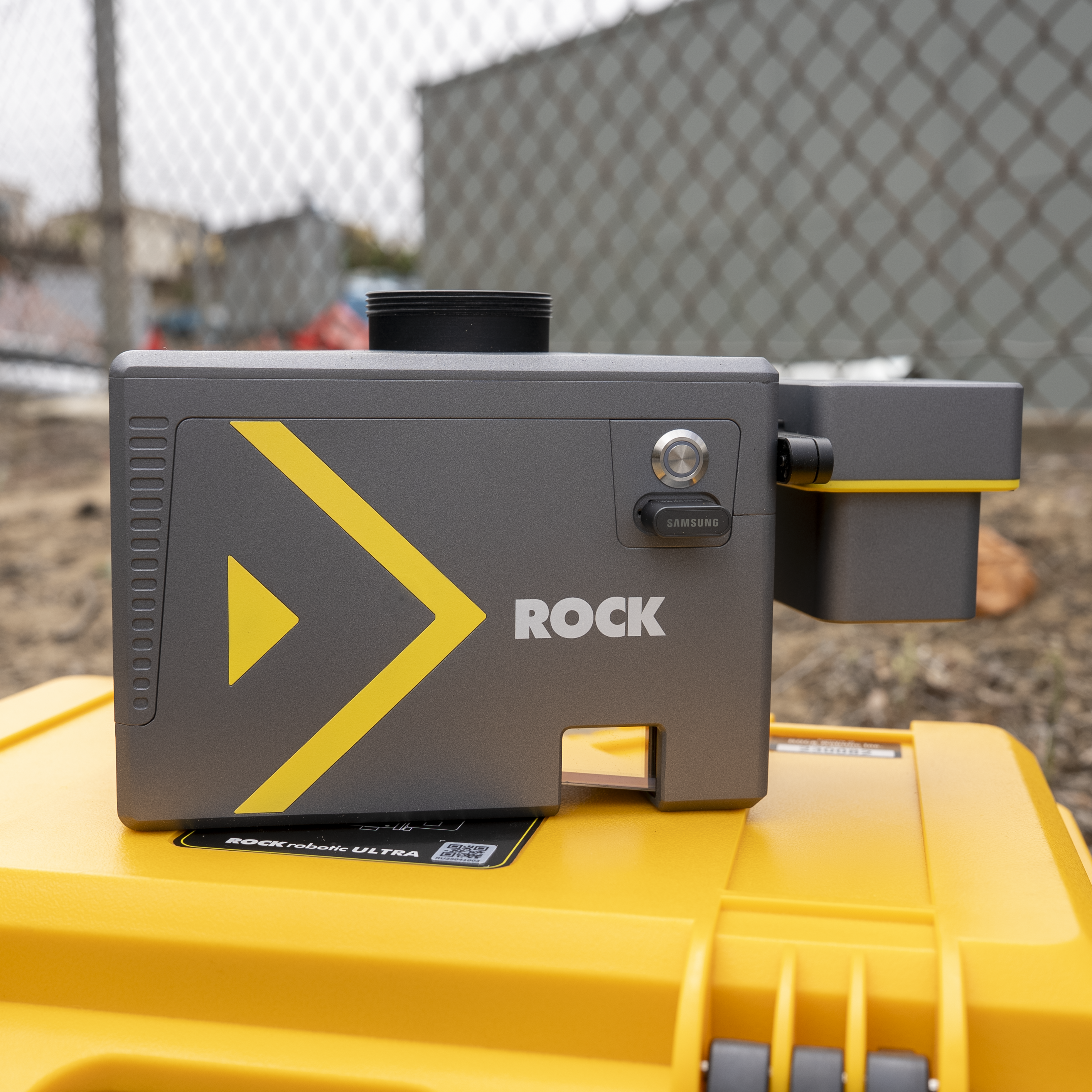
ROCK Cloud
Your end-to-end platform for LiDAR data. Securely store, analyze, visualize, and order professional deliverables with the power of cloud computing and AI.
Read More →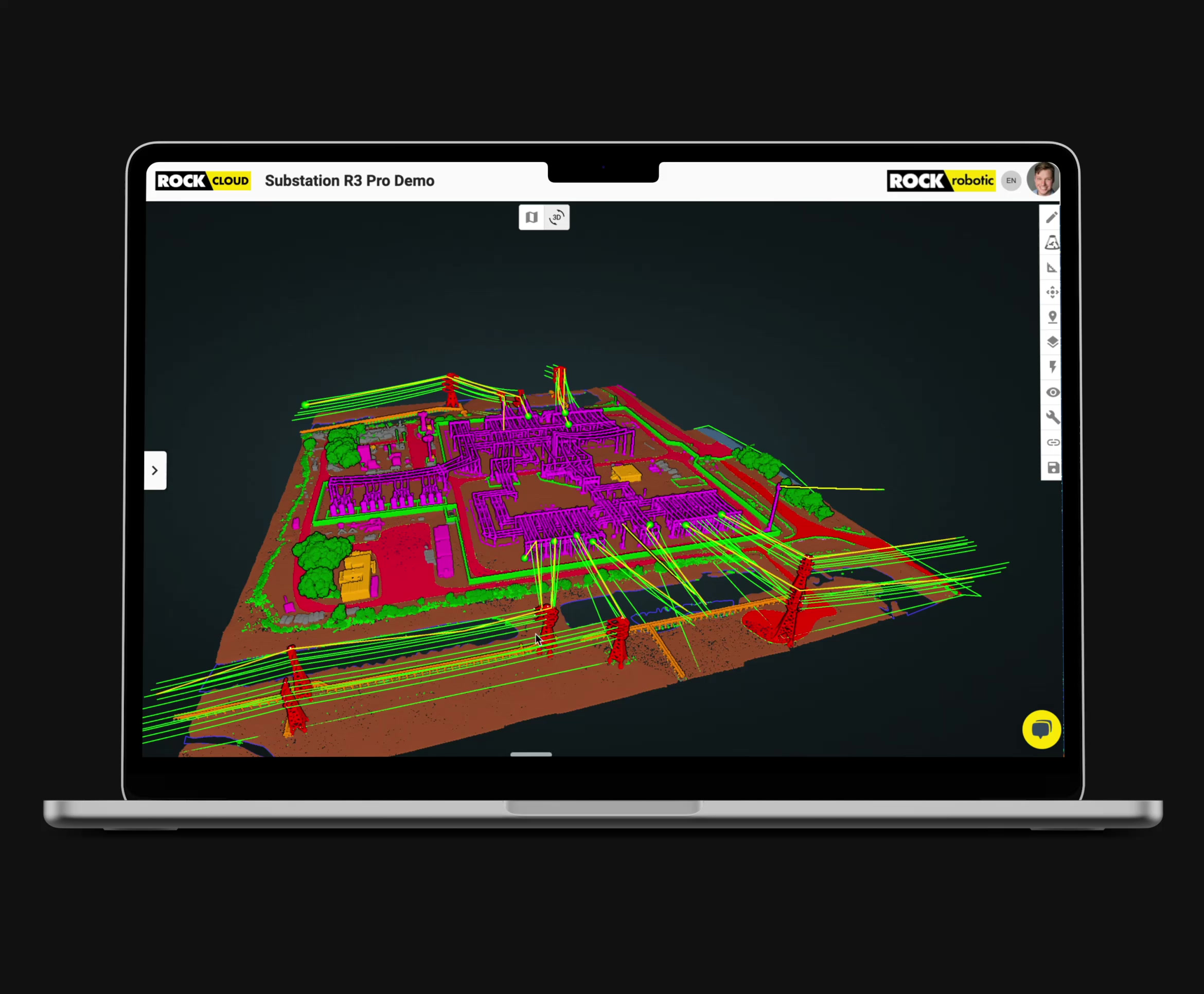
ROCK Pro Services
Your outsourced CAD team. Get survey-grade topographic maps, planimetrics, and PLS-CADD deliverables generated by our experts from your LiDAR data.
Read More →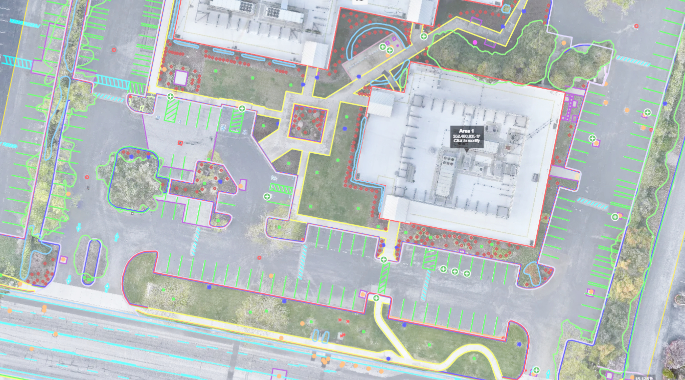
Industries
Purpose‑built LiDAR solutions for your mission—whether you build, maintain, model, or explore.
Land Surveying
Topographic mapping, boundary, and control with survey‑grade accuracy and deliverables.
Explore →Media & Entertainment
Create high‑fidelity digital twins for VFX, virtual production, and immersive experiences.
Explore →Road & Railway
Capture corridors quickly for planning, design, construction, and asset management.
Explore →Construction & Engineering
Monitor progress, verify quantities, and deliver design‑ready surfaces and linework.
Explore →Mining
Survey pits and stockpiles safely with rapid volumetrics and change detection.
Explore →Energy & Utilities
Model corridors, manage vegetation, and produce PLS‑CADD deliverables.
Explore →Environmental Research
Quantify habitats, canopy structure, and terrain to support field science.
Explore →Archeology
Reveal hidden structures through vegetation for site discovery and preservation.
Explore →Forestry
Analyze canopy height, density, and biomass with precise terrain separation.
Explore →Loved by Thousands of Geospatial Professionals
Whether you are a land surveyor, an engineer, or a drone service provider, ROCK Robotic has everything you need.
"The thing that I'm most pleased about is the ease of use of the LiDAR. We were able to take the hardware and deliver a product – the first time. The client is absolutely over the moon with the data we delivered."
Christopher Saili
Kahuto Pacific
"The Ultra cut our field time on a 500-acre project from three days to four hours. The bare-earth data was the cleanest we've ever seen."
John S., Lead Surveyor
Apex Geomatics
"ROCK Robotic has seriously helped our survey business get to a new level of service and productivity. Highly recommend ROCK Pro Services and their LiDAR equipment."
Davy J.
D.C. Johnson & Associates, Inc.
Experience our products
Learn More
Latest Insights & Guides
Explore our latest articles on LiDAR mapping, surveying best practices, and industry insights
Apr 1, 2026
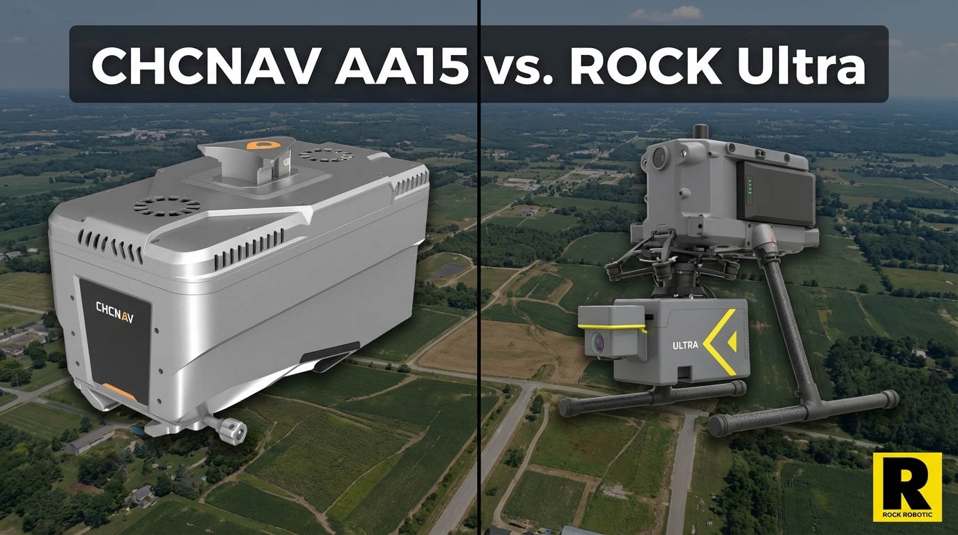
CHCNAV AA15: Monster Specs, But Can You Actually Deploy It?
The CHCNAV AlphaAir 15 has the longest range in the UAV LiDAR market — 1,800 m and 2M pts/sec on paper. Here's the practical reality of deploying it versus the ROCK Ultra.
Apr 1, 2026
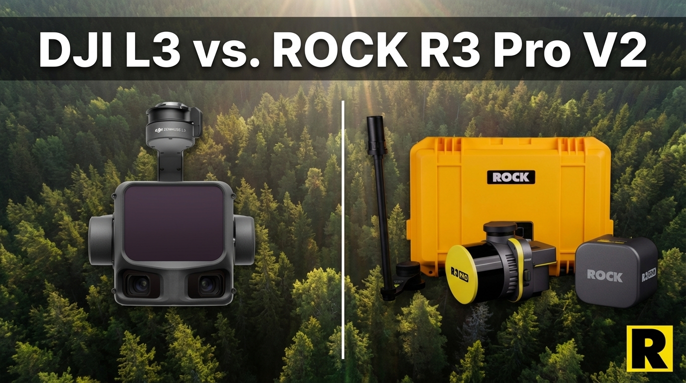
DJI L3 vs. ROCK R3 Pro V2: Different Tools for Different Businesses
The DJI Zenmuse L3 wins on aerial specs. But if your goal is to build a versatile, government-capable survey business, the R3 Pro V2 is a fundamentally different category of investment.
Apr 1, 2026
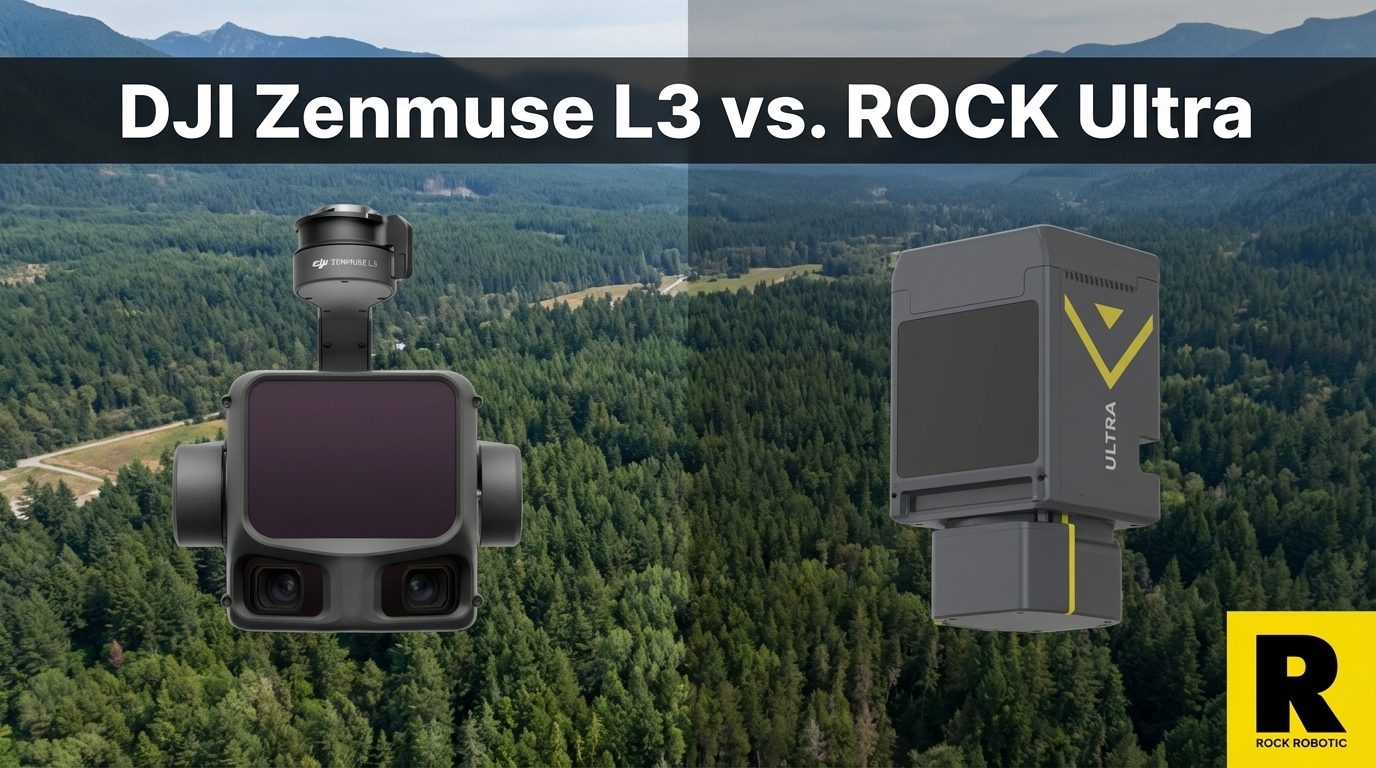
The DJI L3 Is Incredible. Here's Why We're Not Worried.
The DJI Zenmuse L3 is a genuinely impressive sensor at a disruptive price. Here's why ROCK Ultra customers aren't losing sleep — and what DJI still can't give you.
Apr 1, 2026
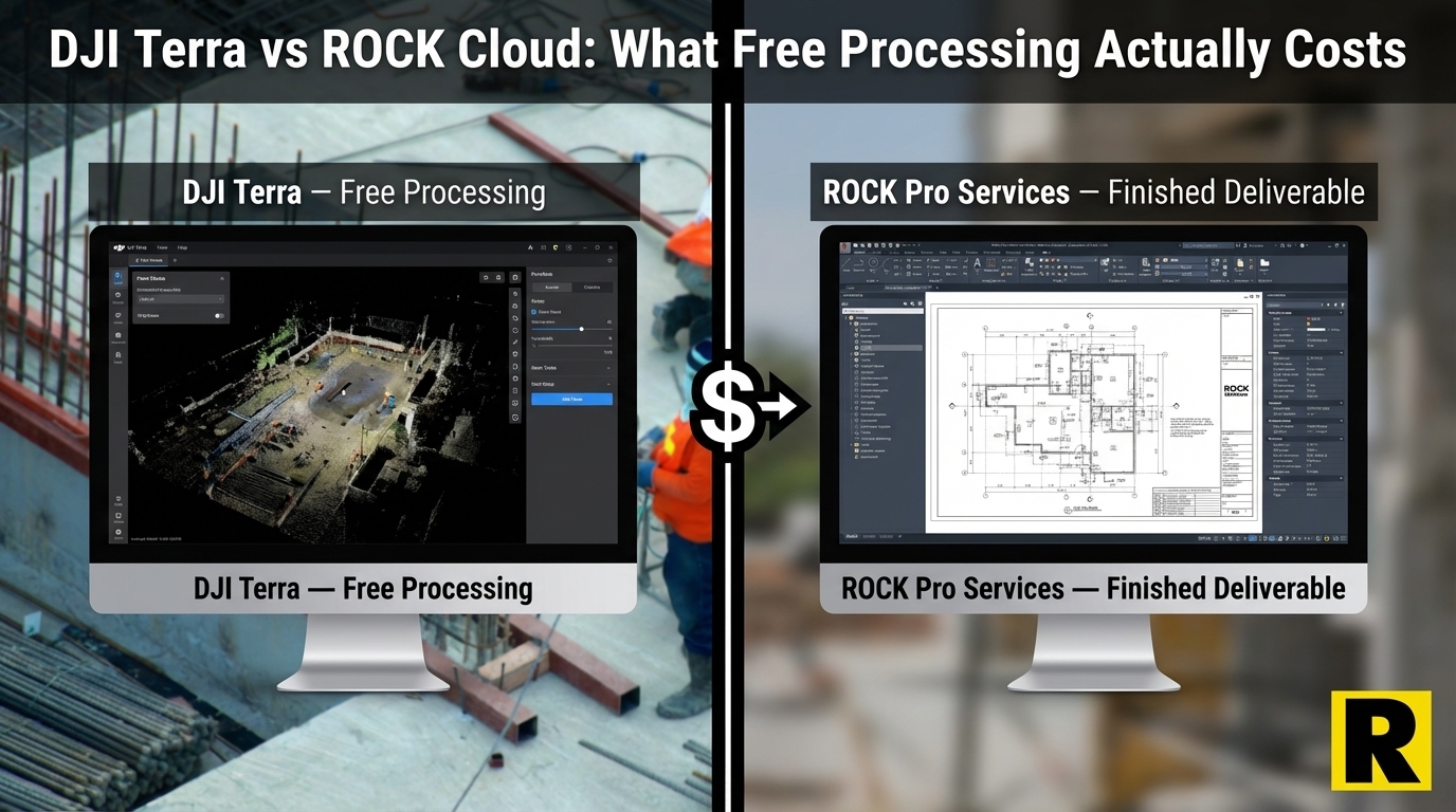
ROCK Cloud vs. DJI Terra: What "Free Processing" Actually Costs You
The DJI L3 comes with free point cloud processing in DJI Terra. But Terra gives you a raw point cloud — then what? Here is the real cost of taking that data to a finished deliverable.
Apr 1, 2026
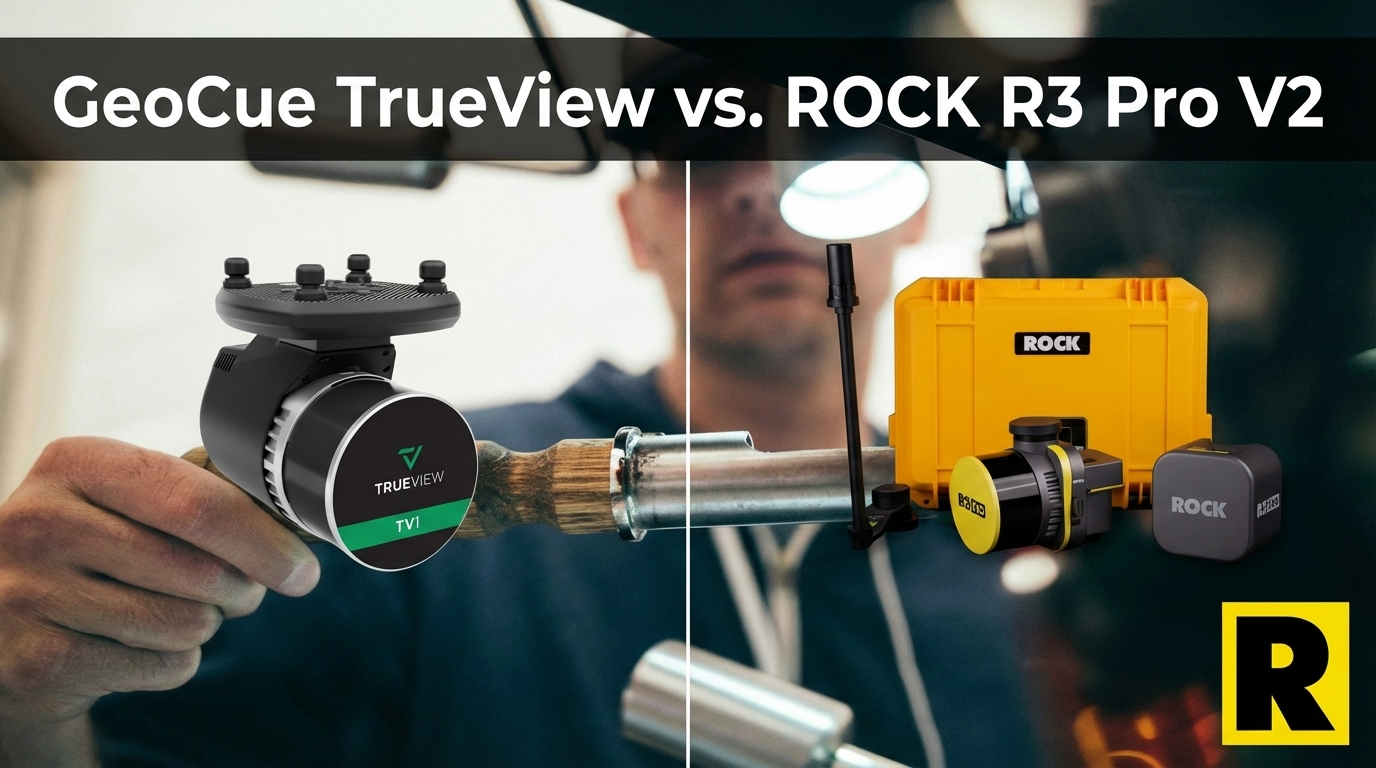
GeoCue TrueView vs. ROCK R3 Pro V2: Same Sensor, Different Ecosystem
GeoCue TrueView and ROCK R3 Pro V2 both run the Hesai XT32. The hardware is comparable. The difference is what happens after the flight — and how flexibly you can deploy the sensor.
Apr 1, 2026
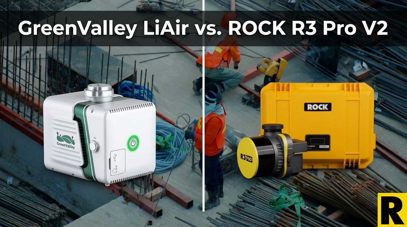
GreenValley LiAir X3C-H vs. ROCK R3 Pro V2: The Specs Match — The Ecosystem Doesn't
GreenValley's LiAir X3C-H uses the same Hesai XT32 as the ROCK R3 Pro V2. Same raw scan performance, similar weight. The difference is everything that surrounds the sensor.
Apr 1, 2026
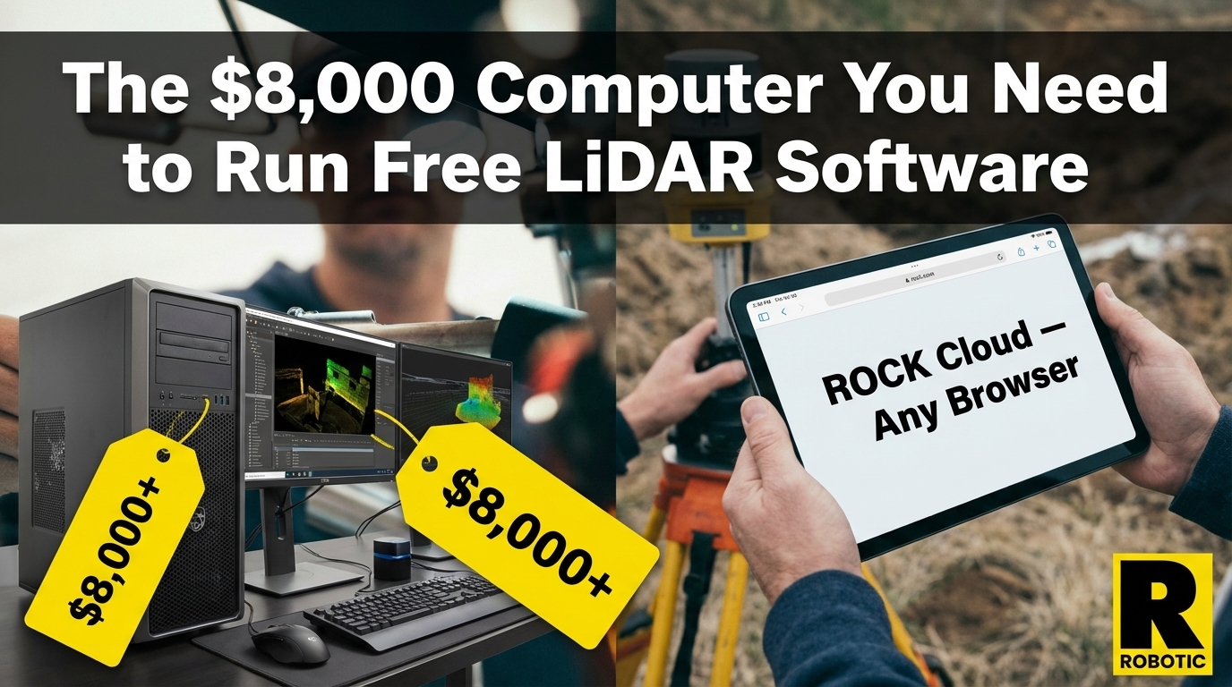
The $4,000 Computer You Need to Run "Free" LiDAR Software
DJI Terra is free for L3 users. LP360 is $3,000/year. But neither of them mentions the $4,000-$8,000 workstation you need to actually run them — or what happens to your workflow when a 5,000-acre project lands on your desk.
Apr 1, 2026
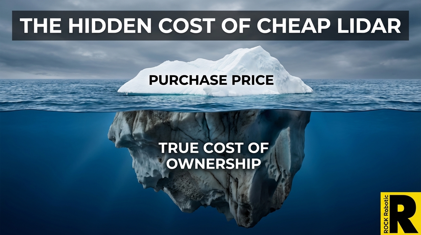
The Hidden Cost of Cheap LiDAR: What Spec Sheets Won't Tell You
The DJI L3 at $17,400 has made everyone focus on sensor price. That's the wrong metric. Total cost of ownership — hardware, software, processing time, labor, and rework — tells a very different story.
Try ROCK Robotic now
Your 3D scanning journey starts here. Download ROCK Desktop or process in ROCK Cloud.