top of page


How-To Perform Calibration Flight for ROCK R3 Pro, R360, & R2A
In this informative guide, we'll walk you through the step-by-step process to ensure precise and accurate data collection every time.
2 min read
248


Case Study: Using ROCK LiDAR to Inspect Power Lines Across California
How did Surefire approach this extensive power line inspection project? One drone LiDAR flight at a time.
4 min read
918


Drones Are Going to Take Our Jobs: Dispelling Myths About UAVs in the Surveying Industry
Many traditional surveyors are hesitant to adopt drone LiDAR for their projects. We want to dispel some myths surveyors have about LiDAR.
4 min read
486


Case Study: Drone Services Provider Navigates a 2,500-Acre Gold Mine Site in Fiji with ROCK LiDAR
Kahuto Pacific was hired by a Canadian mining company to provide topographic, aerial LiDAR for a 2,500-acre (1,000-hectare) property.
5 min read
1,939


Case Study: Construction Company Saves $300k by Updating Contours with ROCK Cloud
Here's the top-level takeaway: Companies and contractors can save a significant amount of money in Construction and Earthworks projects.
4 min read
560


Case Study: 25 Acres of LiDAR Data Captured (and Delivered) in Under 48 Hours
Do you ever find yourself in a time crunch? When it comes to last-second client projects, it's easy for panic to begin to settle in. But,...
3 min read
917

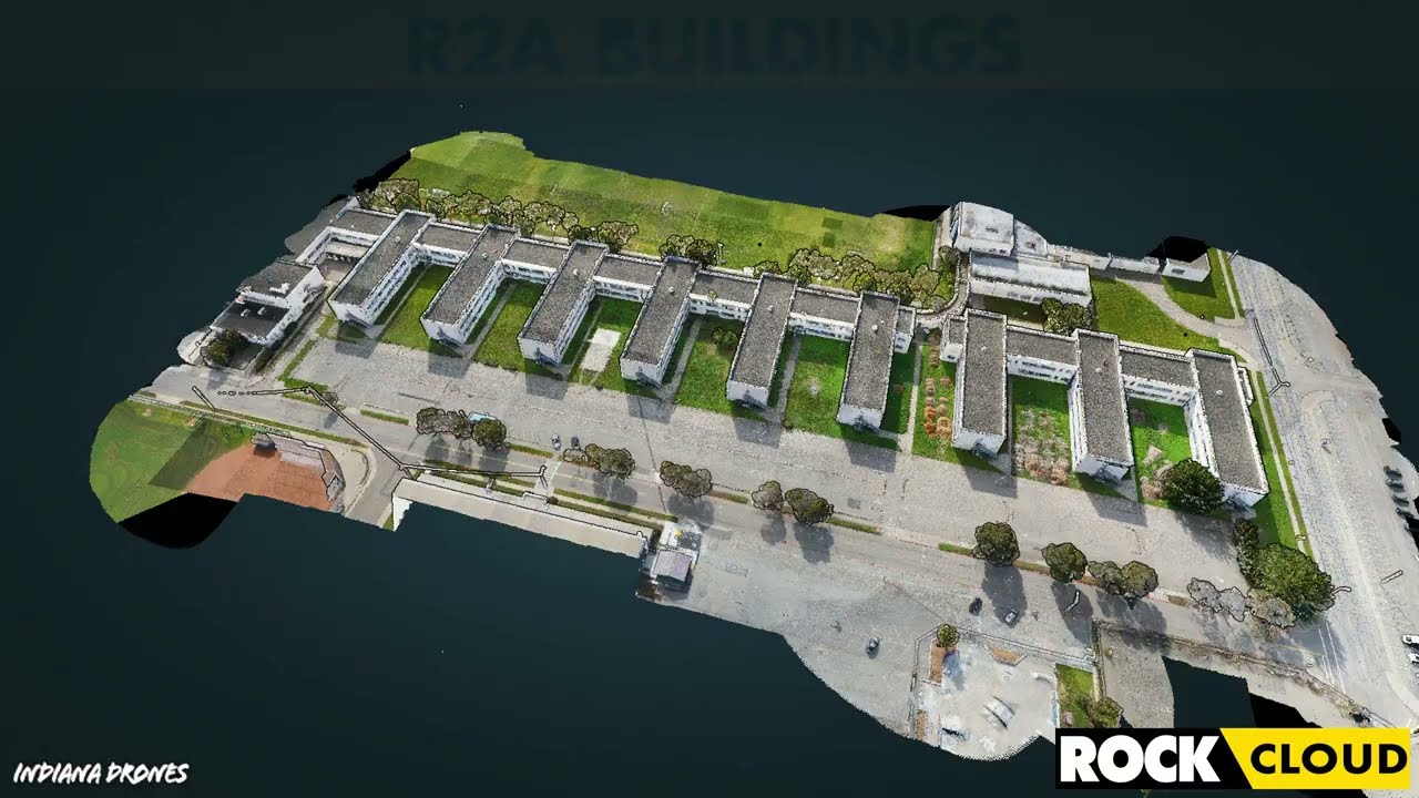
Featured Use Case: Surveying 750 Acres in Under 12 Hours with ROCK R2A LiDAR
At ROCK Robotic, we've been doing our best to spread the word that LiDAR is the game-changer in land surveying. Experienced drone pilot...
2 min read
414


IRS Section 179 Changes Coming: Why You Should Invest in LiDAR Equipment by the End of 2022
The Section 179 deduction allows US taxpayers to expense qualifying purchases and to deduct the full purchase price of their equipment.
2 min read
1,064


Capturing Aerial Drone LiDAR & Photogrammetry in a Single Flight (Earthworks Demo)
This article will discuss the results from the R2A LiDAR + Photogrammetry solution, alongside the output deliverables from the ROCK Cloud.
3 min read
2,259


Improving Accuracy of DJI Zenmuse L1 with ROCK Cloud 3D LiDAR Data Processing Software
Aerial Drone LiDAR has never been more accessible. The new wave of LiDAR hardware spans a large price and quality range. In order to address
4 min read
3,777
Turn your LiDAR data into stunning animations using the ROCK Cloud.
It just keeps getting better! We absolutely love this new Drone LiDAR 3D Mapped dataset. Now you can easily export videos of your LiDAR...
1 min read
699
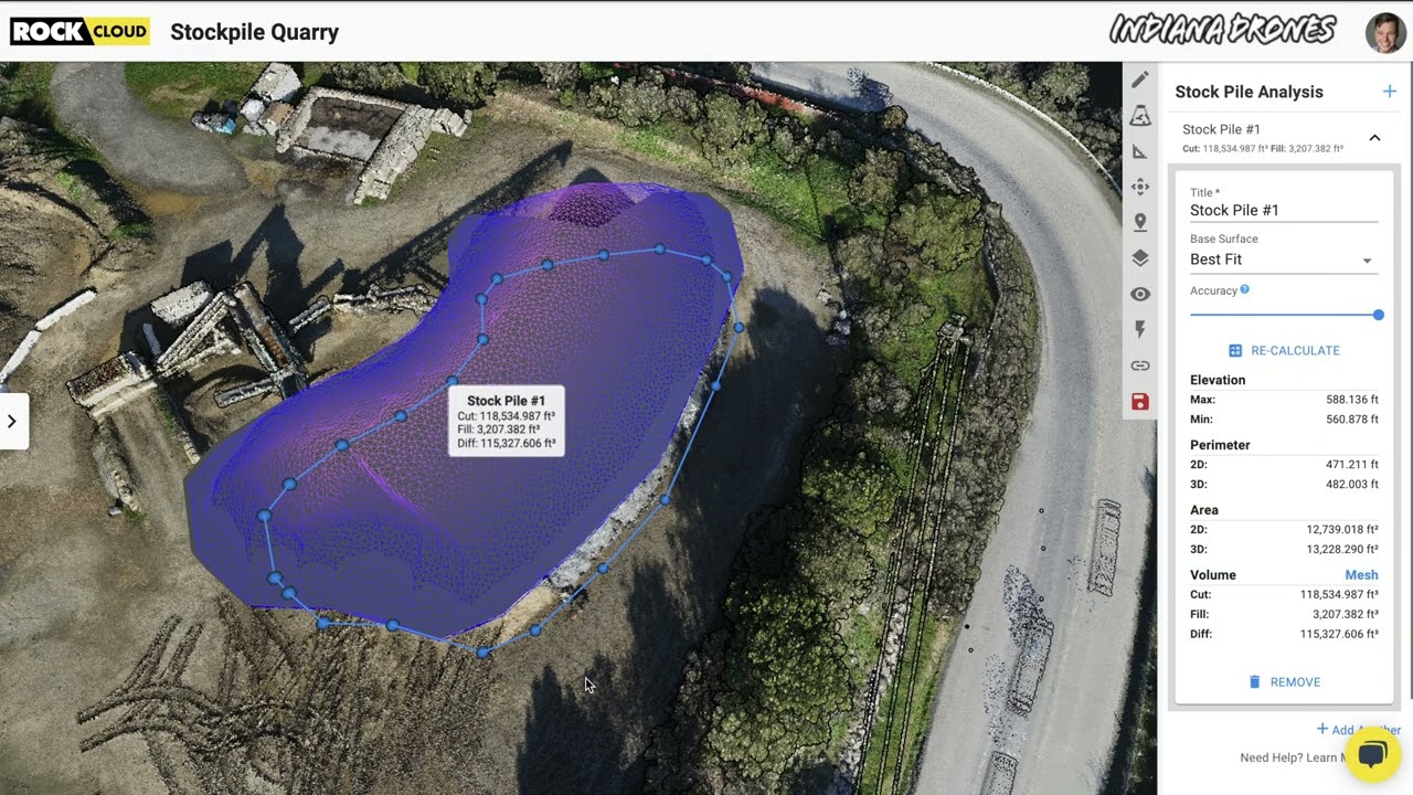
Easily calculate Volumetrics with the ROCK Cloud Stockpile Tool.
Good news... we have added a new feature to the ROCK Cloud! Now, you can quickly draw a polygon around an object to calculate the "Cut &...
1 min read
344
bottom of page