top of page


Capturing Aerial Drone LiDAR & Photogrammetry in a Single Flight (Earthworks Demo)
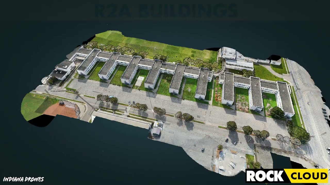
This article will discuss the results from the R2A LiDAR + Photogrammetry solution, alongside the output deliverables from the ROCK Cloud.
3 min read
2,259


Improving Accuracy of DJI Zenmuse L1 with ROCK Cloud 3D LiDAR Data Processing Software
Aerial Drone LiDAR has never been more accessible. The new wave of LiDAR hardware spans a large price and quality range. In order to address
4 min read
3,777
Turn your LiDAR data into stunning animations using the ROCK Cloud.
It just keeps getting better! We absolutely love this new Drone LiDAR 3D Mapped dataset. Now you can easily export videos of your LiDAR...
1 min read
699


Four Crews? Four Weeks? Forget that! ROCK can help get the job done in one day.
We received amazing feedback from one of our ROCK Cloud users. He had nothing but great things to say about our LiDAR processing software.
1 min read
263
bottom of page