5 Ways LiDAR Can Measure Vegetation Health in the Forestry Industry
- Vincent Aurand
- Mar 14, 2023
- 3 min read
Updated: Aug 2, 2023
In the world of forestry, LiDAR is an efficient way to get a quick read on the health of an area's vegetation. By capturing point cloud data to map out their structure, LiDAR can give you a massive amount of useful information about tree health, growth and structure. Here are five key ways LiDAR can help forestry industry professionals assess the health of vegetation and trees.

Canopy Height
The height of vegetation and trees is an essential framework for understanding ecosystems' functioning and biomass distribution. LiDAR can measure the height of vegetation and trees, providing valuable information about their growth and structure. LiDAR measures the height of vegetation and trees by emitting laser pulses toward the ground and measuring the time it takes for the laser to return after reflecting off the foliage. This information is then used to generate high-resolution 3D maps of the vegetation and trees, providing accurate and precise measurements of their height.
Canopy Density
Canopy density is another important facet of understanding an environment. Aerial LiDAR can be used to measure the density of vegetation and trees, supplying practical data about the amount of foliage in the canopy and biomass distribution. Changes in the density of vegetation or trees over time can indicate changes in their health and growth patterns, such as a decrease in density due to disease or pest infestations or an increase in density due to healthy growth.

Leaf Area Index
LiDAR can be used to estimate the leaf area index (LAI), which measures the amount of foliage in a vegetation canopy. The LAI provides information about the amount of photosynthetic area available to the vegetation, and changes in the LAI can indicate changes in the health and growth of the vegetation. Changes in the LAI over time can suggest increased or decreased tree health.
Crown Structure
Crown structure is how the branches, leaves, and foliage of a tree or plant are arranged — essentially the shape of a plant. LiDAR can help measure this structure by creating detailed point cloud maps of the vegetation and trees. The information gathered from these maps can give you insight into biomass distribution, which is the total amount of organic matter in the trees and plants.
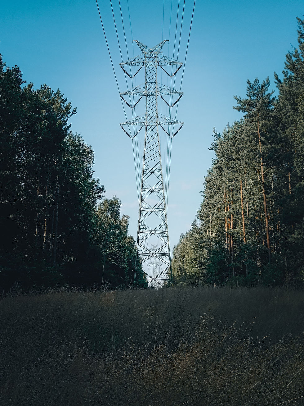
Learn More: Working with vegetation and power lines? ROCK Vegetation Management rapidly diagnoses and communicates critical violations for transmission and distribution asset management.

Wood volume
Wood volume refers to the total amount of space occupied by the woody material in a tree. It is a measure of the size and growth of a tree and is an important parameter in the forestry industry. Wood volume is used to estimate the amount of biomass in a tree, which in turn can be used to calculate the carbon storage capacity of a forest. The wood volume of a tree can be calculated by using — you guessed it — LiDAR. The information captured on wood volume can be used for various purposes, including forest management, biomass estimation, and carbon sequestration studies.
LiDAR can provide useful data about the health and growth of vegetation and trees by measuring various biophysical parameters. This information can be used to support sustainable vegetation and forest management practices. The ROCK Robotic team is ready to discuss your forestry and vegetation management projects with you. Contact us today to start the conversation.
Visit rockrobotic.com to learn more about our survey-grade LiDAR hardware and processing software.
Comments