
Land Surveying
Produce survey‑grade deliverables 10x faster
Powered by ROCK hardware and cloud. Standardize capture, tighten tolerances, and deliver CAD‑ready surfaces on tight timelines.
From Control to CAD, Digitize Your Entire Survey Workflow
In land surveying, every centimeter matters and every delay costs money. Traditional methods can be slow, expose crews to risk, and fail to capture the whole picture—leading to rework and overruns.
ROCK Robotic provides an end‑to‑end LiDAR and photogrammetry ecosystem—ROCK hardware, ROCK Desktop, and ROCK Cloud— so you capture a dense, centimeter‑accurate digital twin in hours, align to local control, and deliver CAD‑ready surfaces on tight timelines.
Three ways surveyors use ROCK
Topographic mapping
Generate bare‑earth DTMs and contours quickly with repeatable flight lines and QC/QA baked in.
Boundary & control
Tie to control, integrate GCPs/check shots, and document accuracy with clear reports.
CAD‑ready deliverables
Export contours, linework, and surfaces that slip into Civil 3D, MicroStation, and ArcGIS—no cleanup marathons.
Recommended workflow
Capture LiDAR with proper overlap and local control (RTK + PPK).
Field‑check in ROCK Desktop to confirm coverage & trajectory quality.
Process in ROCK Cloud → classify ground, align to control, generate contours.
Order planimetrics or export CAD deliverables directly.
Why survey firms choose ROCK
Survey‑grade accuracy, simplified. Centimeter‑level results with ROCK Ultra (1550 nm, 7 returns) and R3 Pro V2, plus robust control workflows.
True field‑to‑finish. ROCK Desktop (field QC) → ROCK Cloud (processing & sharing) → Surveyor/Planimetrics (deliverables).
Control‑first approach. Support for local datum/zone, GCPs, and check reports that keep reviewers happy.
Dense, clean ground. Deep vegetation penetration for reliable DTMs where photogrammetry alone falls short.
Scale on demand. Lean internal teams can offload to ROCK Pro Services when timelines stack up.
Typical survey deliverables
- Ground‑classified point cloud (LAS/LAZ)
- DTM/DEM & contours (0.25’–2’ or metric)
- Breaklines & hydro‑enforcement (banks, channels, culverts)
- Planimetric linework (EOP, curb/gutter, sidewalks, striping, buildings, utilities, fences, treelines)
- Control & accuracy report (PPK/RTK stats, residuals, check shots)
- Orthomosaic & colorized LiDAR for client visualization
- File formats: DWG/DXF, LandXML, SHP/GPKG, GeoTIFF, CSV.
Solutions for any site
Aerial LiDAR (UAV)
- ROCK Ultra – long‑range, fly‑higher simplicity for large tracts & canopy.
- ROCK R3 Pro V2 – high‑density scans for detail‑heavy sites and corridor topo.
Mobile & Handheld
- ROCK Mobile Mount – fast road/corridor and shoreline mapping.
- ROCK SLAM Dock V2 – GNSS‑denied interiors/exteriors for ALTA/AS‑built support.
Positioning & Corrections
- ROCK Base + RTK Network – triple‑band GNSS, NTRIP corrections, and RINEX for PPK.
Use cases
FAQs
Do I still need terrestrial shots?
Often fewer. Use LiDAR for dense topography and reserve terrestrial/RTK for monuments, utilities, and tight features per scope.
Can I hold my client's local grid?
Yes—apply site localization or a Helmert transformation and export to your requested coordinate system.
What's the best drone?
DJI M300/M350 and Freefly Astro are common; ask us about your platform and payload limits.
How do you prove accuracy?
We supply PPK/RTK stats, strip alignment checks, and independent check‑shot residuals with every DTM delivery.
Can you handle the drafting?
Yes—order ROCK Planimetrics or full Pro Services for turnkey CAD packages.
What accuracy can I expect?
Absolute accuracy (post‑processed): ~1–3 cm horizontal, ~2–3 cm vertical (site & control dependent).
How much area can I capture per day?
Throughput: 20–1,000+ acres/day depending on altitude, sensor, and airframe.
What are typical turnaround times?
Turnarounds: same‑day field QC; CAD deliverables via ROCK Cloud or Pro Services.
Knowledge for Land Surveying
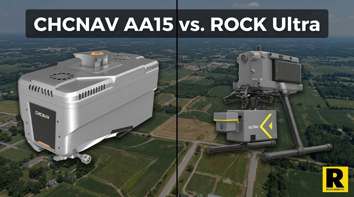
CHCNAV AA15: Monster Specs, But Can You Actually Deploy It?
The CHCNAV AlphaAir 15 has the longest range in the UAV LiDAR market — 1,800 m and 2M pts/sec on paper. Here's the practical reality of deploying it versus the ROCK Ultra.
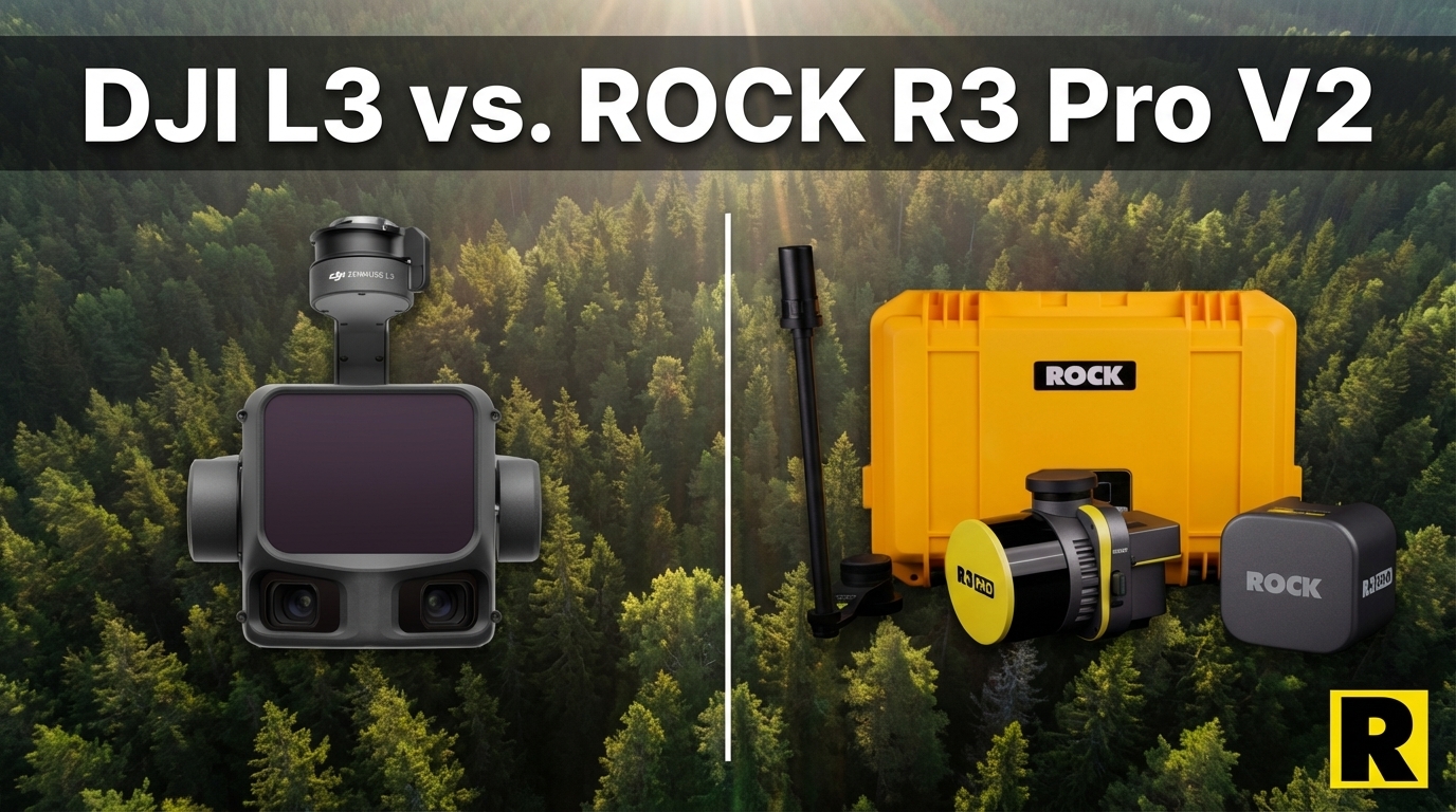
DJI L3 vs. ROCK R3 Pro V2: Different Tools for Different Businesses
The DJI Zenmuse L3 wins on aerial specs. But if your goal is to build a versatile, government-capable survey business, the R3 Pro V2 is a fundamentally different category of investment.
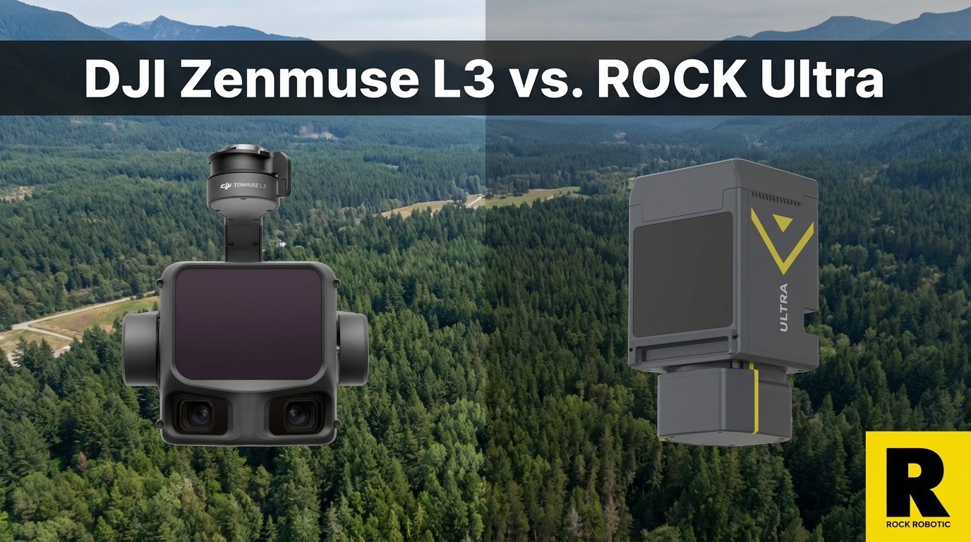
The DJI L3 Is Incredible. Here's Why We're Not Worried.
The DJI Zenmuse L3 is a genuinely impressive sensor at a disruptive price. Here's why ROCK Ultra customers aren't losing sleep — and what DJI still can't give you.
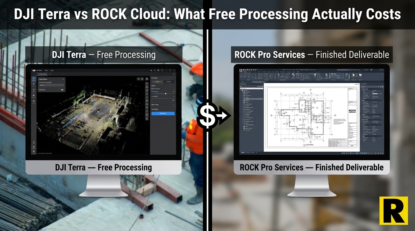
ROCK Cloud vs. DJI Terra: What "Free Processing" Actually Costs You
The DJI L3 comes with free point cloud processing in DJI Terra. But Terra gives you a raw point cloud — then what? Here is the real cost of taking that data to a finished deliverable.
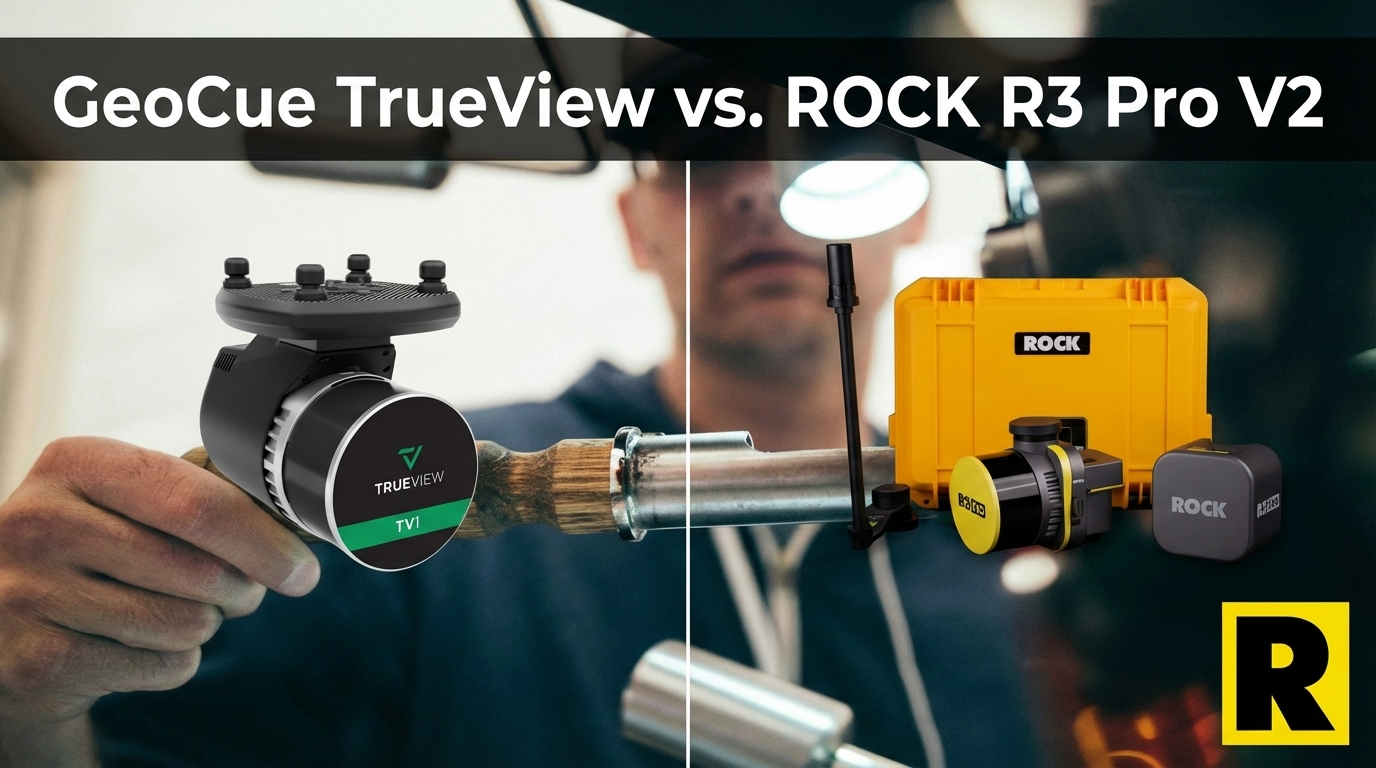
GeoCue TrueView vs. ROCK R3 Pro V2: Same Sensor, Different Ecosystem
GeoCue TrueView and ROCK R3 Pro V2 both run the Hesai XT32. The hardware is comparable. The difference is what happens after the flight — and how flexibly you can deploy the sensor.
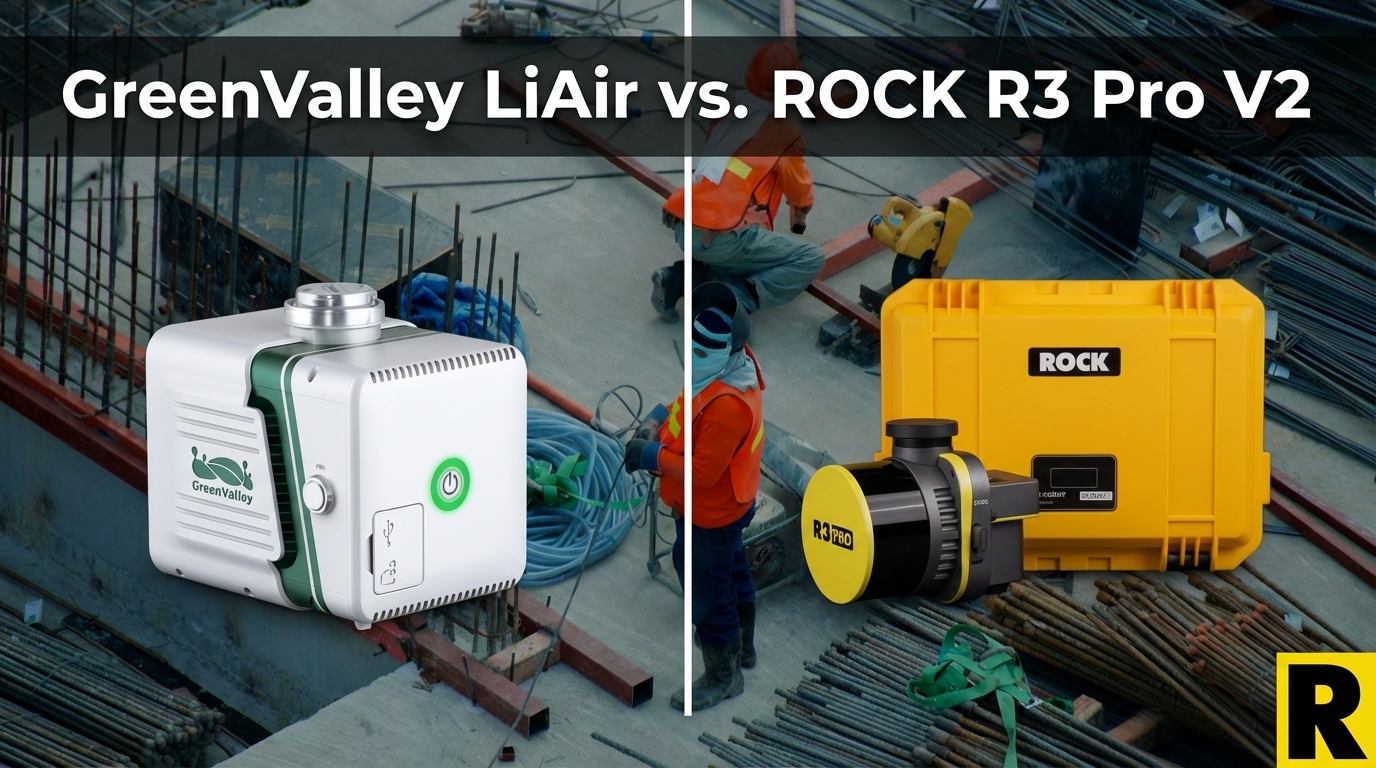
GreenValley LiAir X3C-H vs. ROCK R3 Pro V2: The Specs Match — The Ecosystem Doesn't
GreenValley's LiAir X3C-H uses the same Hesai XT32 as the ROCK R3 Pro V2. Same raw scan performance, similar weight. The difference is everything that surrounds the sensor.

The $4,000 Computer You Need to Run "Free" LiDAR Software
DJI Terra is free for L3 users. LP360 is $3,000/year. But neither of them mentions the $4,000-$8,000 workstation you need to actually run them — or what happens to your workflow when a 5,000-acre project lands on your desk.
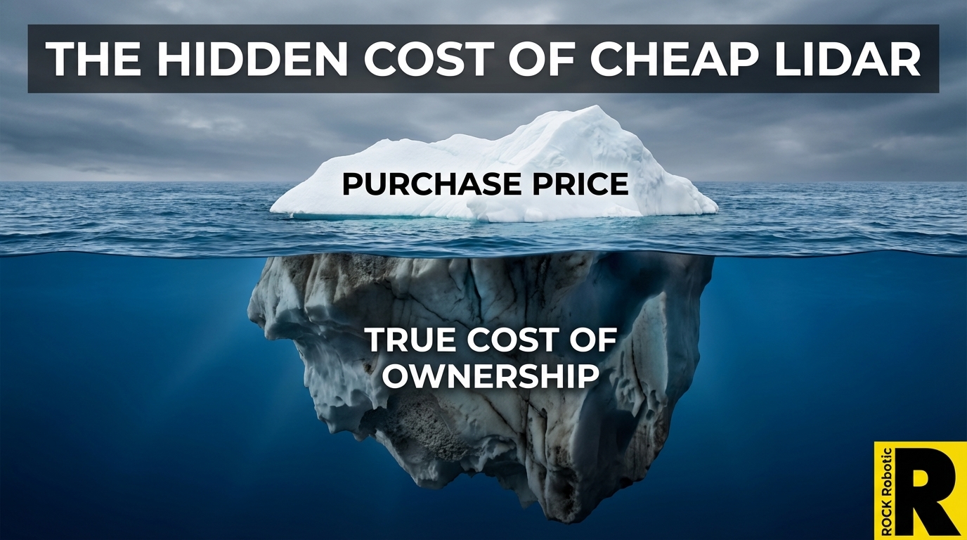
The Hidden Cost of Cheap LiDAR: What Spec Sheets Won't Tell You
The DJI L3 at $17,400 has made everyone focus on sensor price. That's the wrong metric. Total cost of ownership — hardware, software, processing time, labor, and rework — tells a very different story.
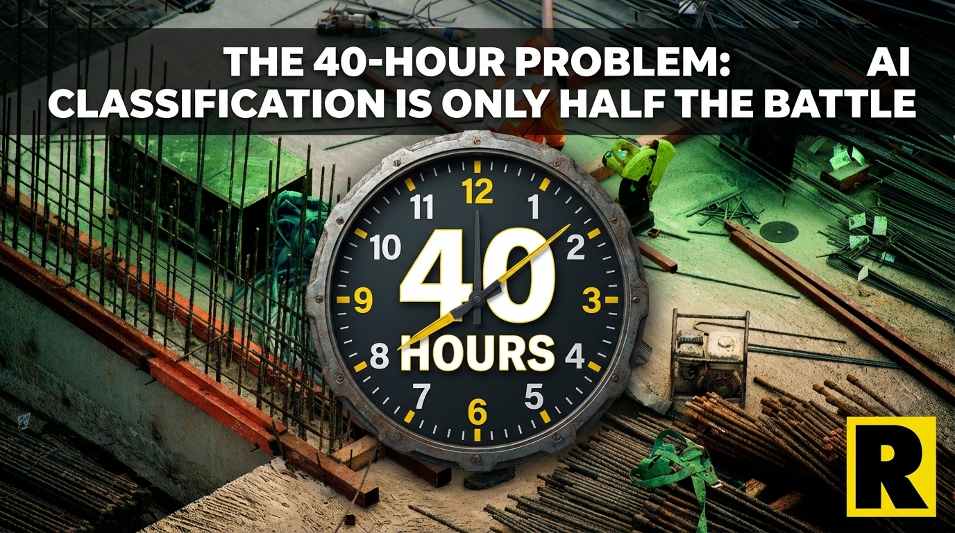
The 40-Hour Problem: Why AI Classification Is Only Half the Battle
Every LiDAR software company advertises automated AI ground classification. What they do not show you is the 30-50 hours of manual cleanup that happens after. Here is the honest walkthrough — and what ROCK Pro Services does instead.
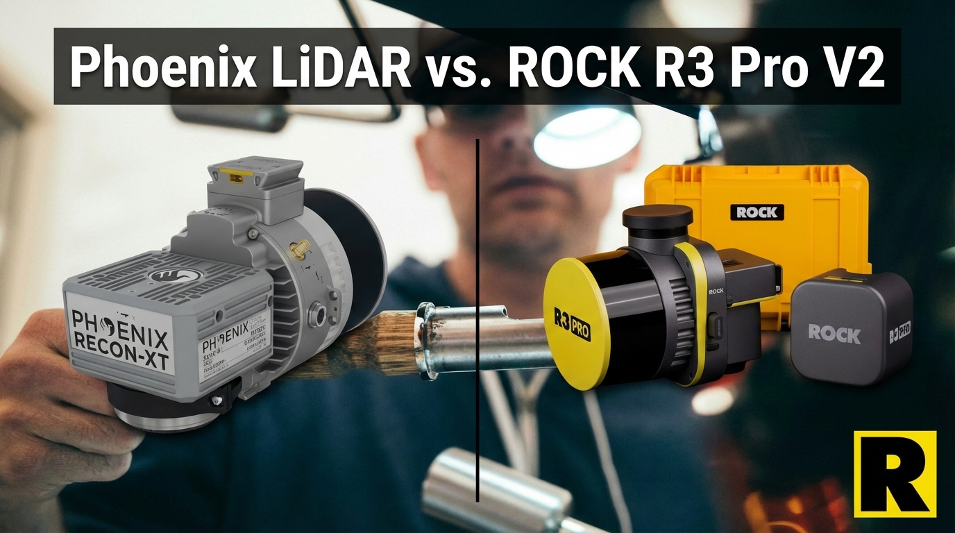
Phoenix LiDAR vs. ROCK R3 Pro V2: Legacy Prestige Meets Modern Workflow
Phoenix LiDAR (now Revolution Geosystems) has deep multi-platform DNA and Riegl-powered accuracy. But their systems are heavier, more expensive, and their software ecosystem is fragmented — just as the company goes through a major acquisition.
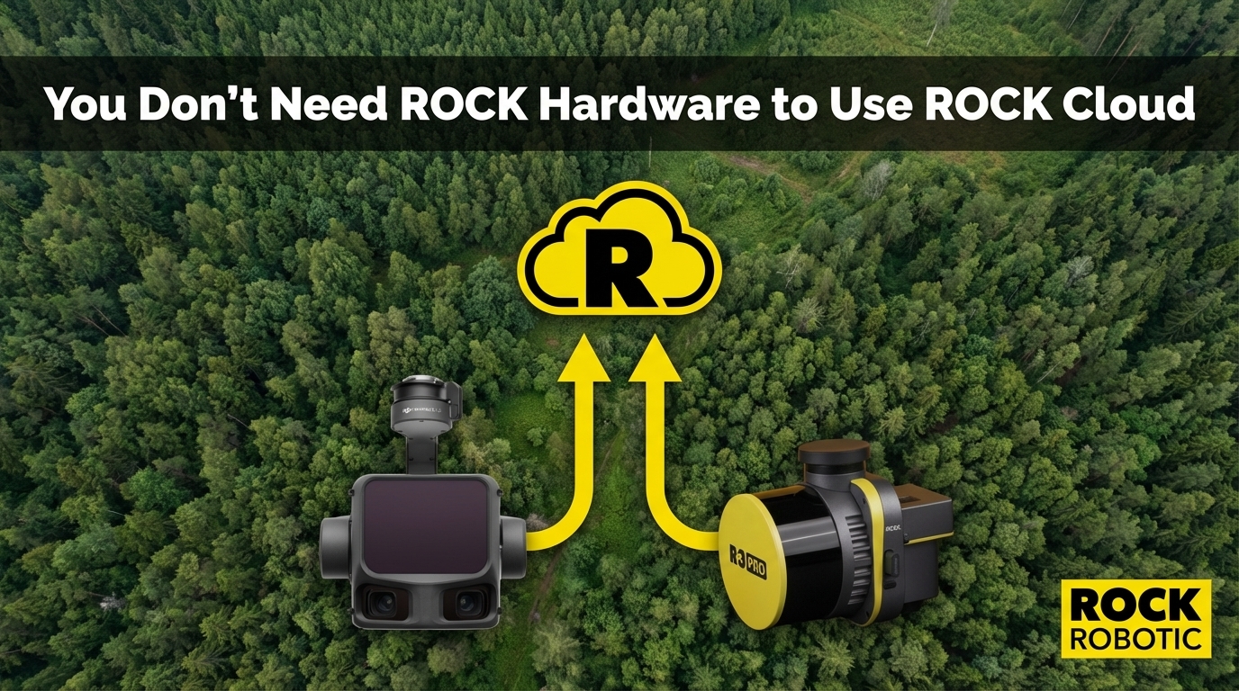
You Don't Need ROCK Hardware to Use ROCK Cloud
ROCK Cloud accepts LAS/LAZ files from any LiDAR sensor — DJI, GeoCue, YellowScan, Phoenix, or any brand. If you are processing data in Terra or LP360 and emailing massive files to clients, ROCK Cloud gives you a better way.
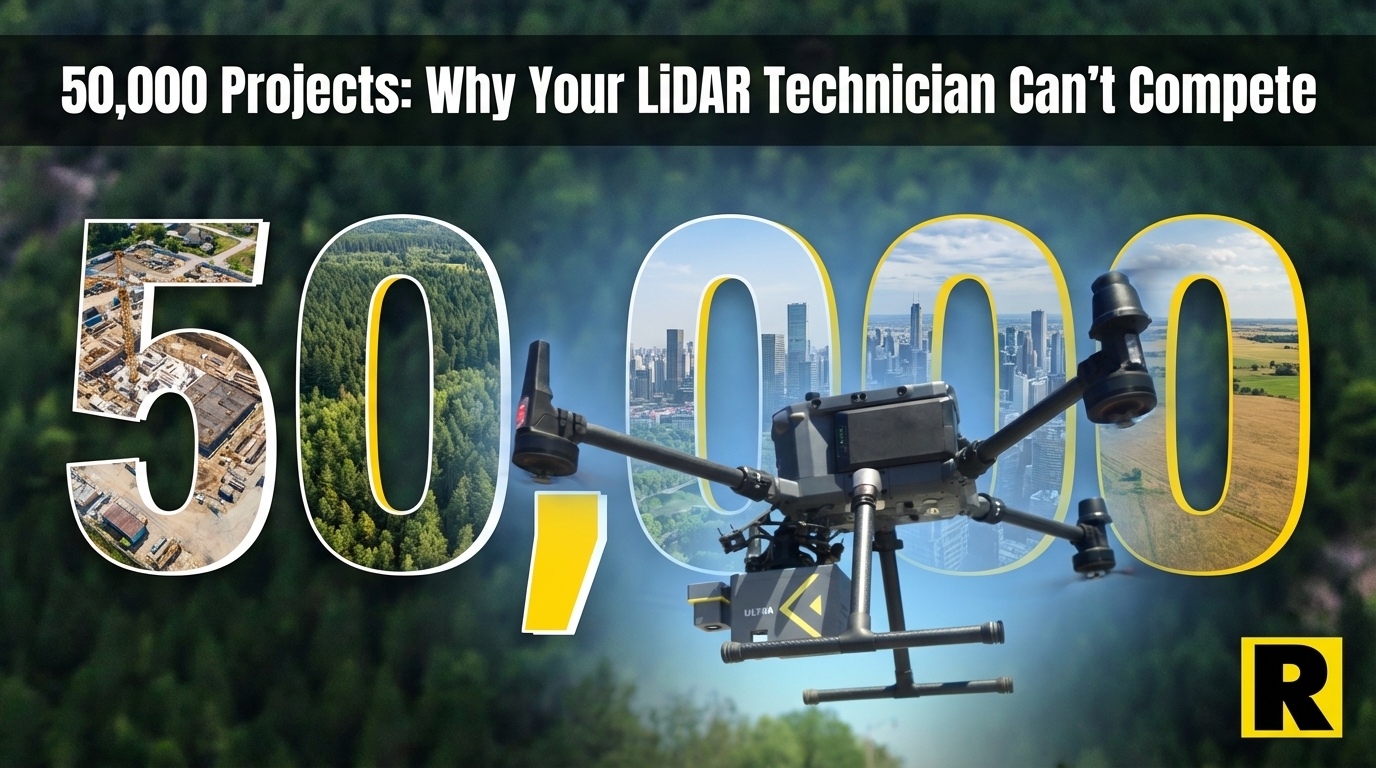
50,000 Projects: Why Your LiDAR Technician Can't Match What ROCK Pro Services Knows
ROCK Pro Services has processed over 50,000 survey projects across every terrain type imaginable. That institutional knowledge — every edge case seen and solved — is what you buy when you outsource to Pro Services. Here is why it matters.
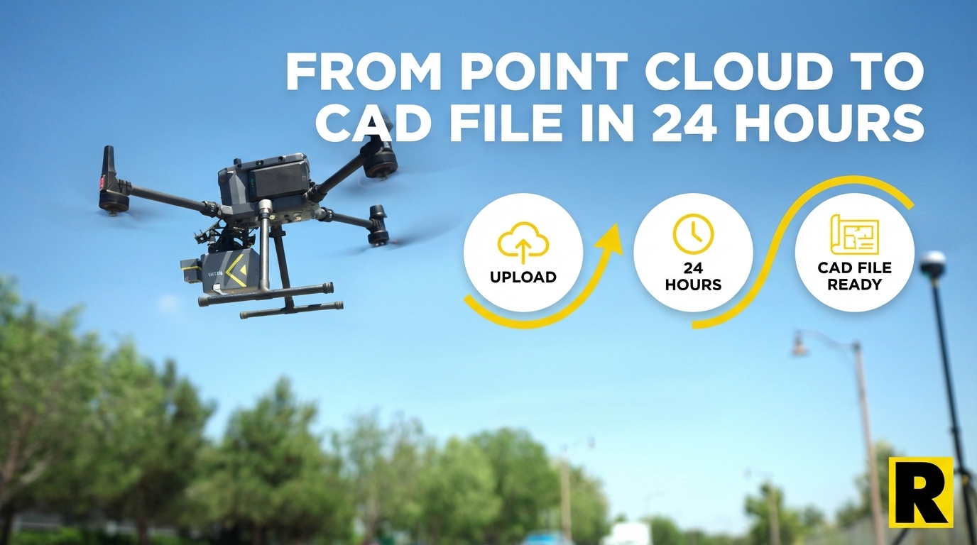
From Point Cloud to CAD File in 24 Hours: How ROCK Pro Services Works
ROCK Pro Services combines patented AI with US-based CAD professionals to turn your LiDAR point cloud into a finished, client-ready deliverable — typically in 24 hours. Here is exactly how that process works.
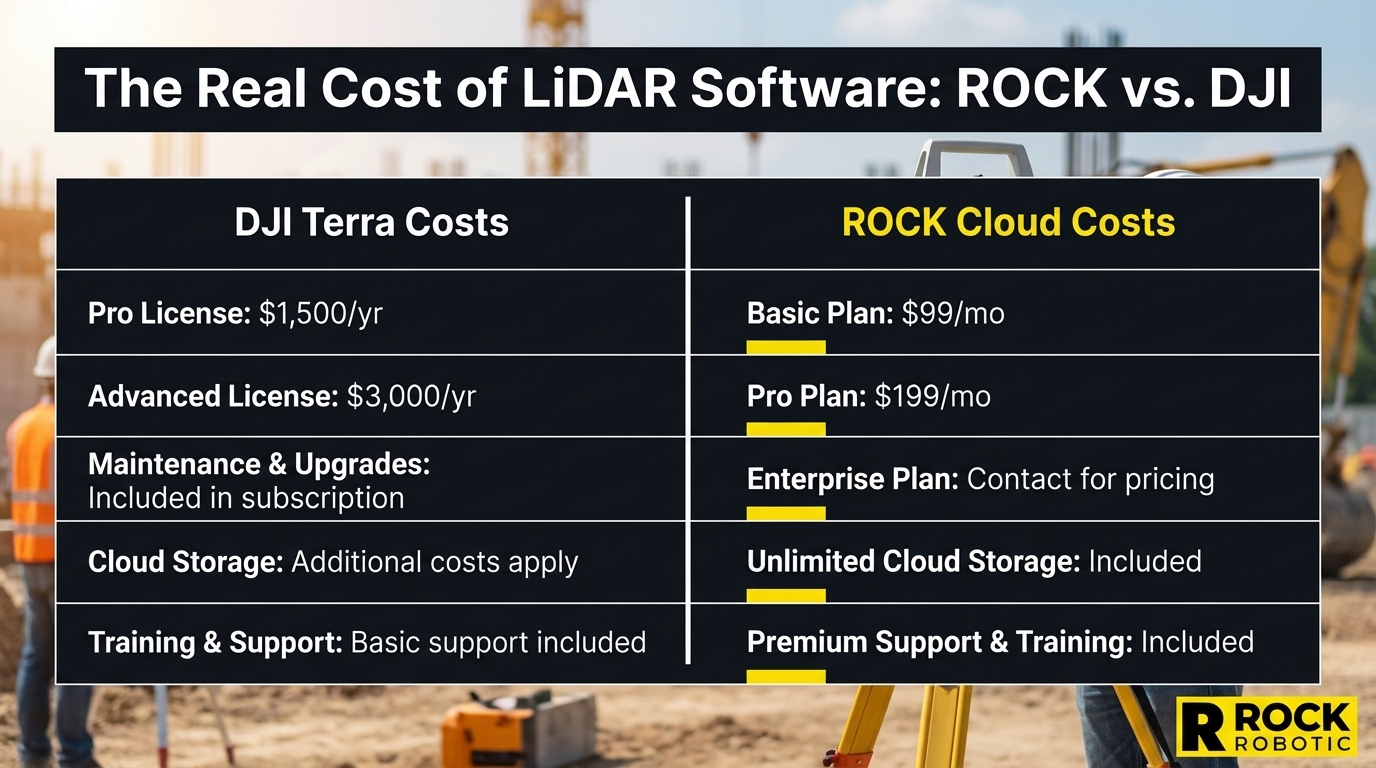
The Truth About ROCK's Software Costs (And What DJI Won't Tell You About Theirs)
Competitors love to say ROCK has expensive annual fees. Let's put real numbers on the table — ROCK's three independent pillars versus DJI Terra's actual subscription pricing — and see who's being honest.
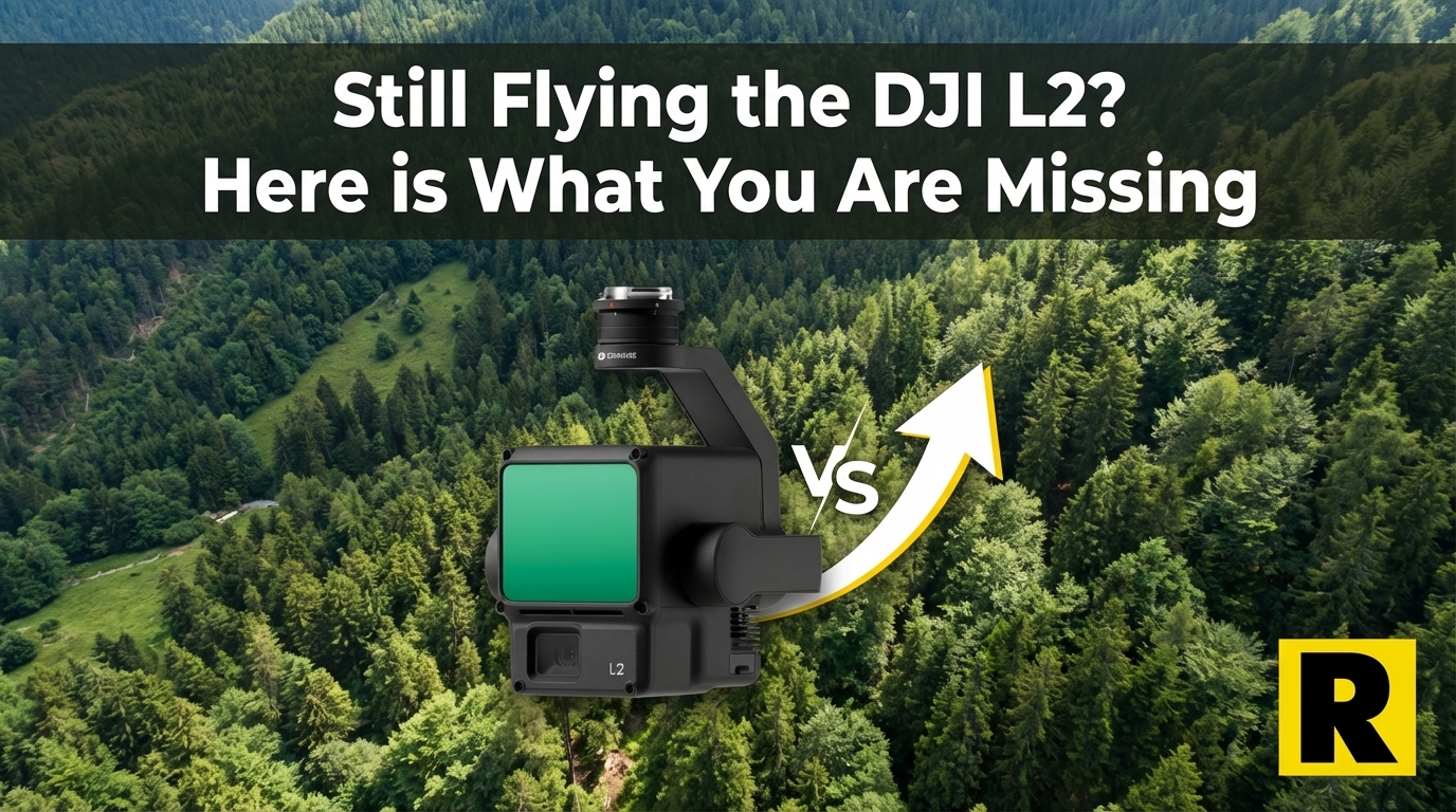
Still Flying a DJI L2? Here's What You're Missing.
The DJI L2 was a great entry point into drone LiDAR. But if you're ready to grow a serious survey business, the ROCK R3 Pro V2 opens doors the L2 simply can't.
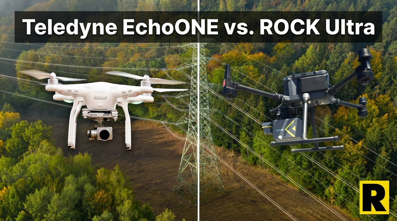
Teledyne EchoONE: NDAA Compliant — But Can It Keep Up in the Field?
The Teledyne EchoONE is one of the few NDAA-compliant drone LiDAR options on the market. Lightweight and accurate. But its 270 m range and limited ecosystem put real constraints on what it can do.
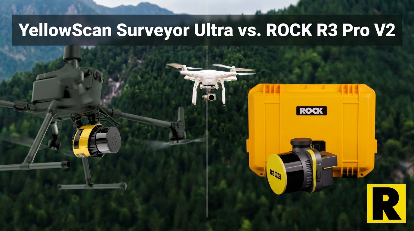
YellowScan Surveyor Ultra vs. ROCK R3 Pro V2: Premium Price, Partial Capability
The YellowScan Surveyor Ultra is impressively light at 0.98 kg. It's also priced at $40K-60K for a drone-only sensor with an 8 MP camera and no SLAM capability. Here's how it compares to the R3 Pro V2.
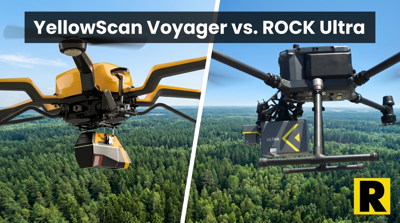
YellowScan Voyager vs. ROCK Ultra: When Raw Specs Meet Real-World Workflow
The YellowScan Voyager has monster specs — 1,250 m range, 2.4 million shots per second, 32 returns. Here's why ROCK Ultra delivers better business outcomes at a fraction of the weight and cost.
Try ROCK Robotic now
Your 3D scanning journey starts here. Download ROCK Desktop or process in ROCK Cloud.